The Washington map of the United States
United States · 1861
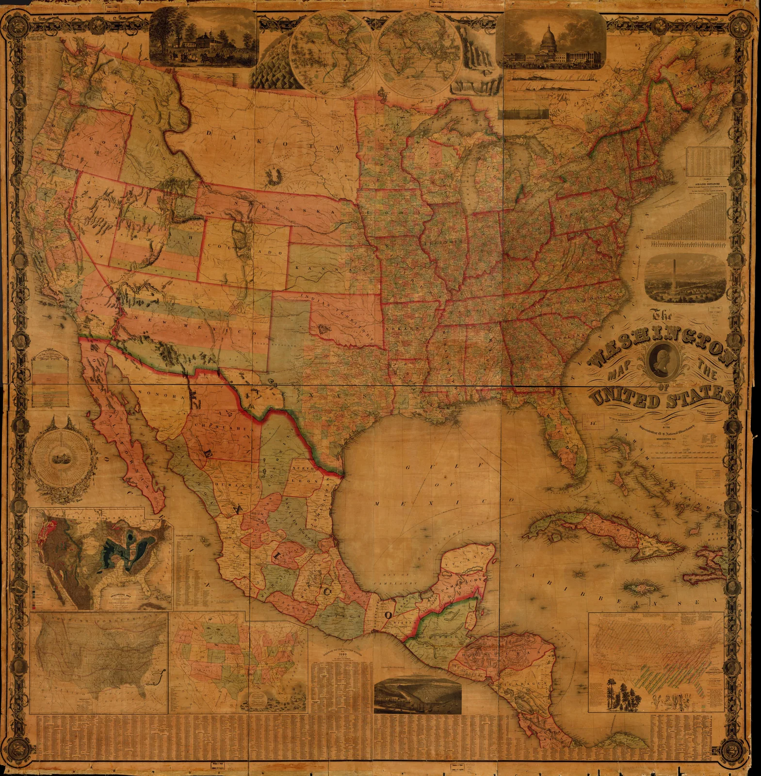 The Washington map of the United States, United States, 1861. Maps & plans — The 1800s Archive, from the Library of Congress record.
More from this collection
 The Washington map of the United StatesUnited States, 1863
 The Washington map of the United StatesUnited States, 1865
 The Washington map of the United StatesUnited States, 1864
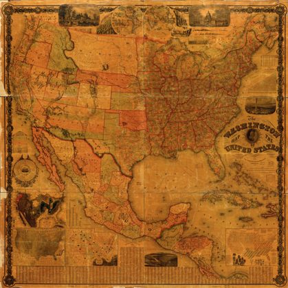 The Washington map of the United StatesUnited States, 1862
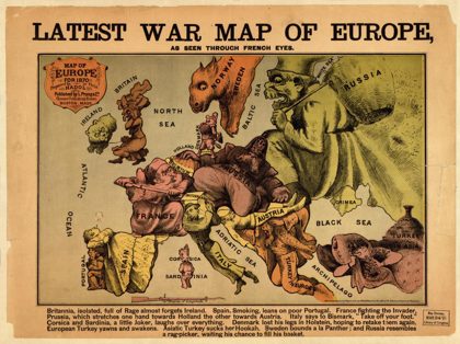 Latest war map of Europe : as seen through French eyesEurope, 1870
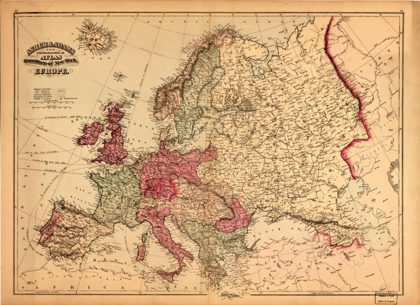 Asher & Adams new topographical atlas and gazetteer of New York--EuropeEurope, 1871
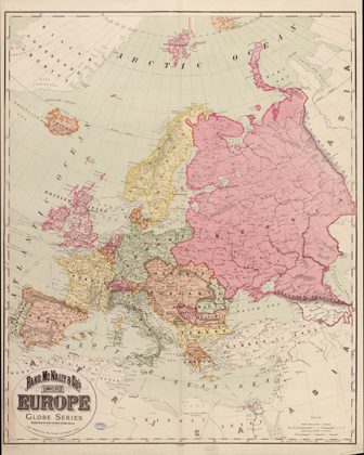 Rand, McNally & Co.'s map of Europe : compiled from the latest and most…Europe, 1894
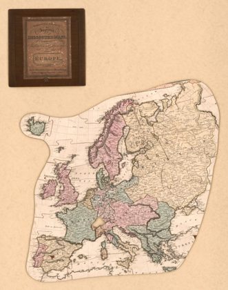 Improved dissected maps, combining instruction with amusement, EuropeEurope, 1812