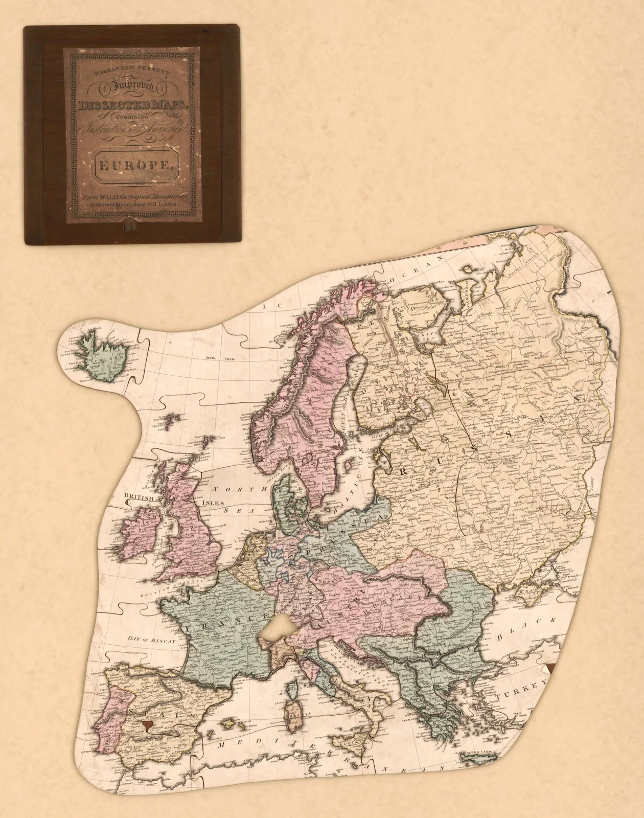
Europe · 1812
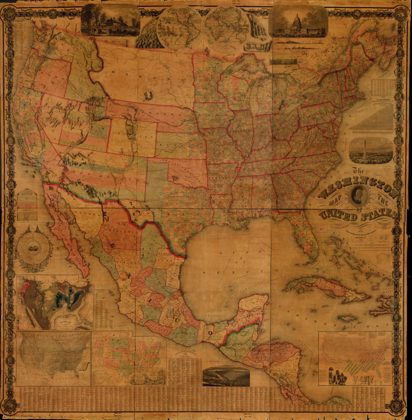 The Washington map of the United StatesUnited States, 1861
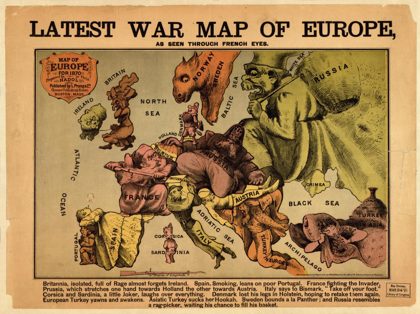 Latest war map of Europe : as seen through French eyesEurope, 1870
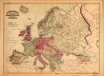 Asher & Adams new topographical atlas and gazetteer of New York--EuropeEurope, 1871
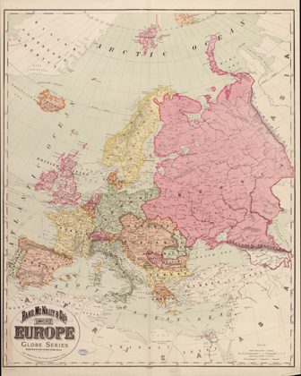 Rand, McNally & Co.'s map of Europe : compiled from the latest and most…Europe, 1894
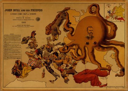 John Bull and his friends : a serio-comic map of EuropeEurope, 1900
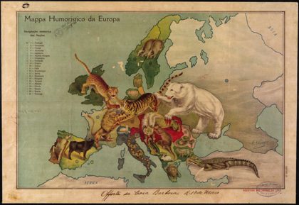 Humorous Map of Europe.1914
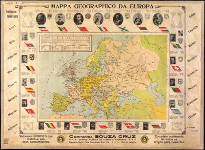 Geographic Map of Europe.Brazil, 1914
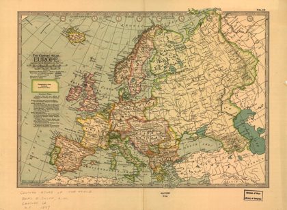 EuropeEurope, 1897