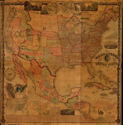
The Washington map of the United States
United States · 1863
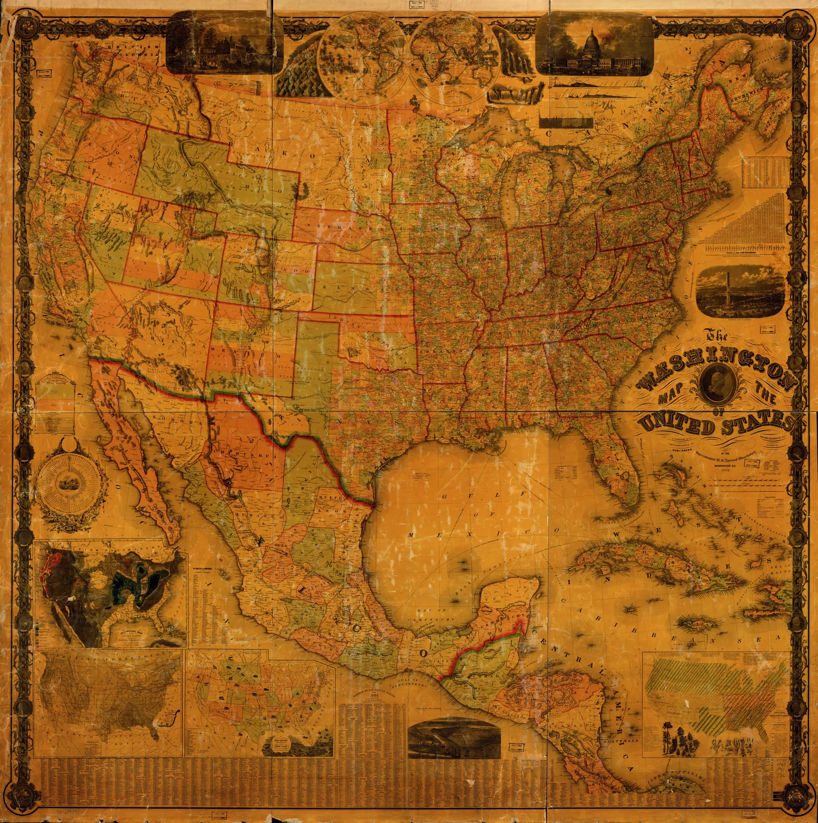 The Washington map of the United States, United States, 1863. Maps & plans — The 1800s Archive, from the Library of Congress record.
More from this collection
 A map of the United States of America agreeable to the peace of 1783United States, 1783
 United StatesUnited States, 1868
 Map of the United States of America, the British provinces, Mexico, the…United States, 1852
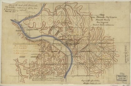 Map of the "Kanawha City" estates, Kanawha County, West Virginia…Kanawha County, West Virginia, 1875
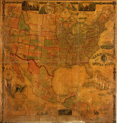 The Washington map of the United StatesUnited States, 1865
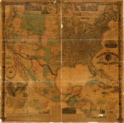 The Washington map of the United StatesUnited States, 1864
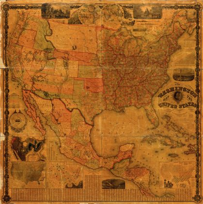 The Washington map of the United StatesUnited States, 1862
 The Washington map of the United StatesUnited States, 1861