A new & correct map of the whole World
Earth (planet) · 1719
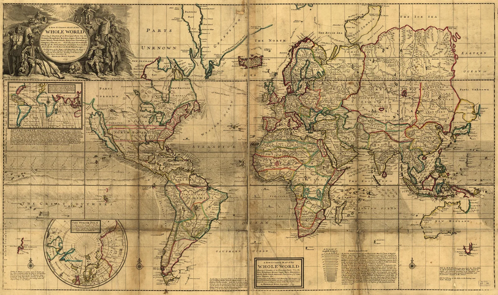 A new & correct map of the whole World, Earth (planet), 1719. Maps & plans — The 1800s Archive, from the Library of Congress record.
More from this collection
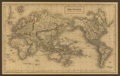 The World, on Mercator's Projection.1840
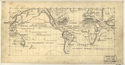 Map of the world on the Mercator projectionEarth, 1875
 Portolan atlas of 9 charts and a world map, etc.Earth, 1544
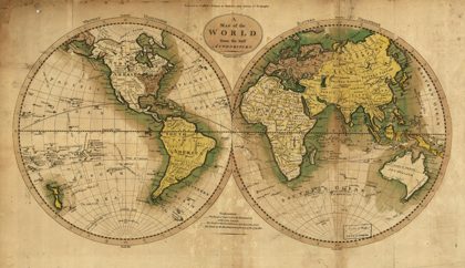 Map of the World from the best authoritiesEarth, 1795
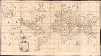 To Capt. John Wood this map of the world, drawn according to Mercators…Earth (planet), 1690
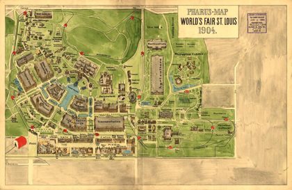 Pharus-map World's Fair St. Louis, 1904Missouri, 1904
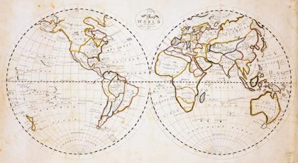 Map of the world with the most recent discoveriesEarth, 1811
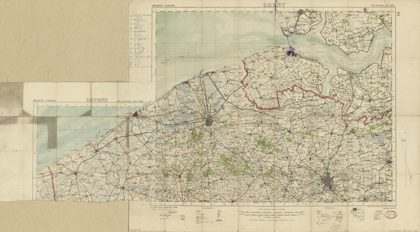 Map of World War I battle positions in the Bruges region, BelgiumBruges Region, Belgium, 1914