Portolan atlas of 9 charts and a world map, etc.
Earth · 1544
 Portolan atlas of 9 charts and a world map, etc., Earth, 1544. Maps & plans — The 1800s Archive, from the Library of Congress record.
More from this collection
 Globe map of the worldEarth (planet), 1900
 World Map in two Hemispheres (Bonne Projection), 1566.1566
 The World, on Mercator's Projection.1840
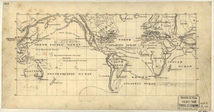 Map of the world on the Mercator projectionEarth, 1875
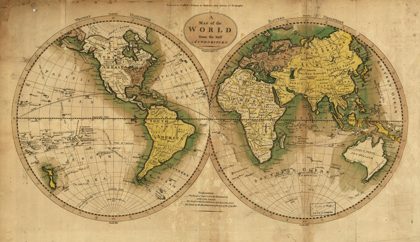 Map of the World from the best authoritiesEarth, 1795
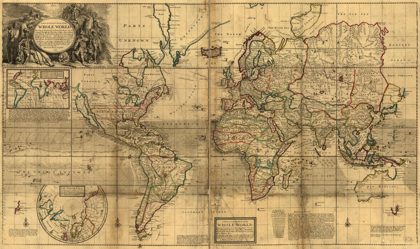 A new & correct map of the whole WorldEarth (planet), 1719
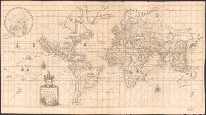 To Capt. John Wood this map of the world, drawn according to Mercators…Earth (planet), 1690
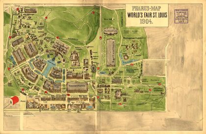 Pharus-map World's Fair St. Louis, 1904Missouri, 1904