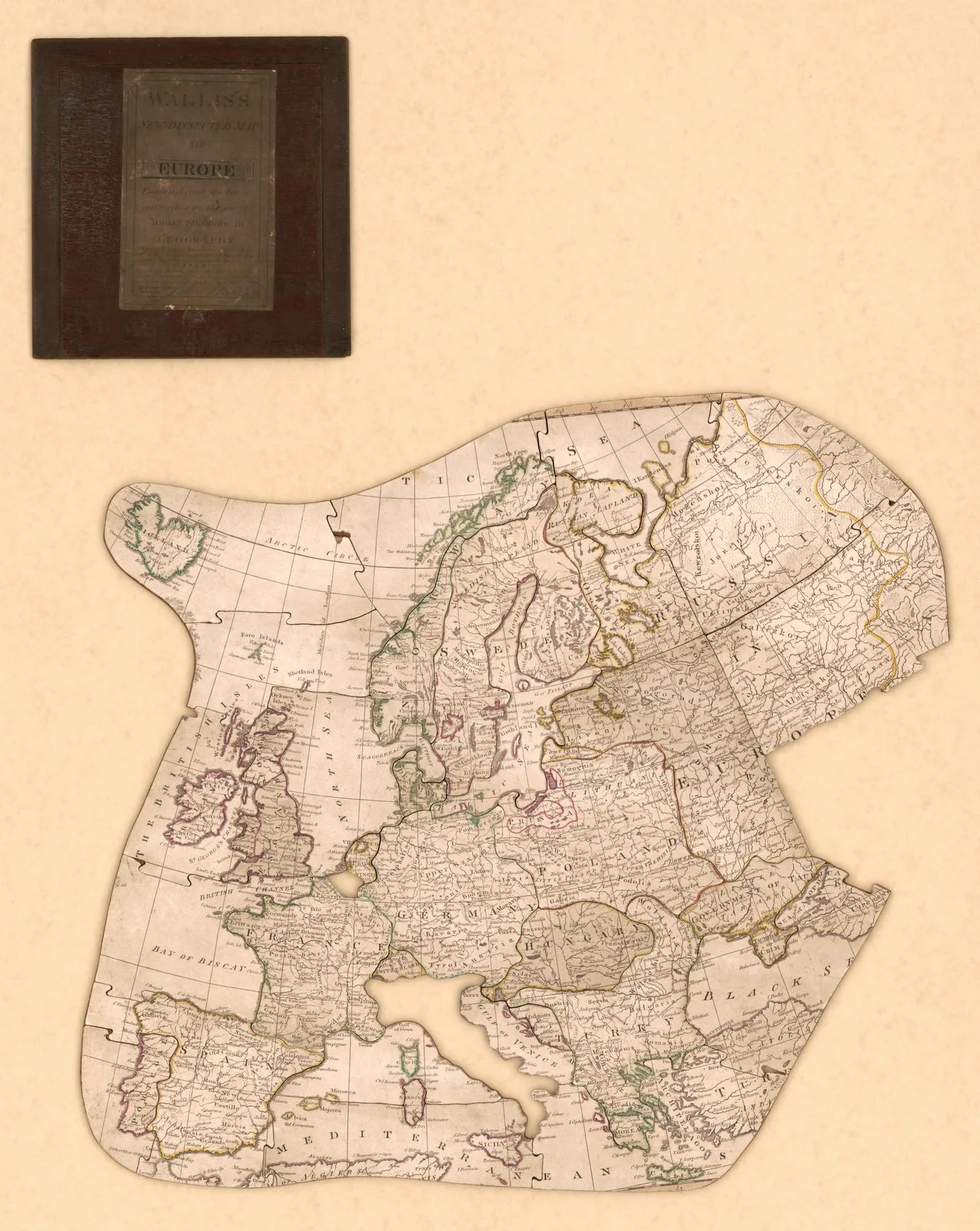
Europe · 1814
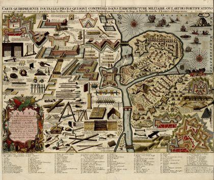 A collection of plans of fortifications and battles, 1684-1709…Europe, 1709
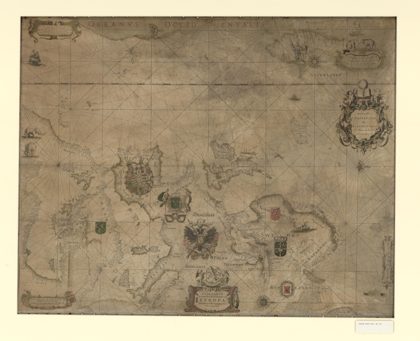 Paskaarte vertonende alle de zekusten EuropeEurope, 1660
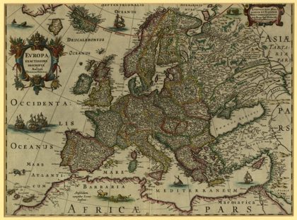 Europe, Very Precisely Represented.1620
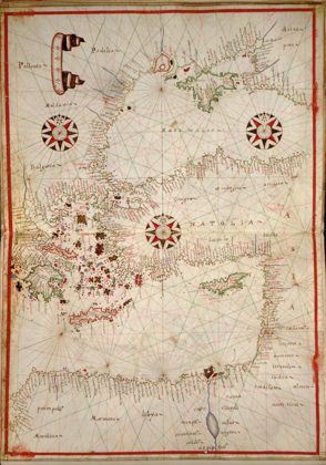 Portolan atlas of the Mediterranean Sea, western Europe, and the…Mediterranean Region, 1590
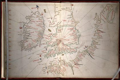 Portolan atlas of the Mediterranean Sea, northwest Europe, and…Mediterranean Sea, 1590
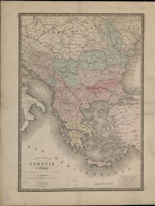 General Map of European Turkey, Greece and the Ionian Islands.Greece, 1816
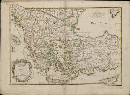 European Turkey and Part of Asian Turkey, Divided into Large Provinces…Greece, 1750
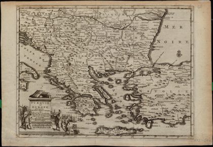 Turkey in Europe: According to New Observations by the Gentlemen at the…Greece, 1729