Europe, Very Precisely Represented.
1620
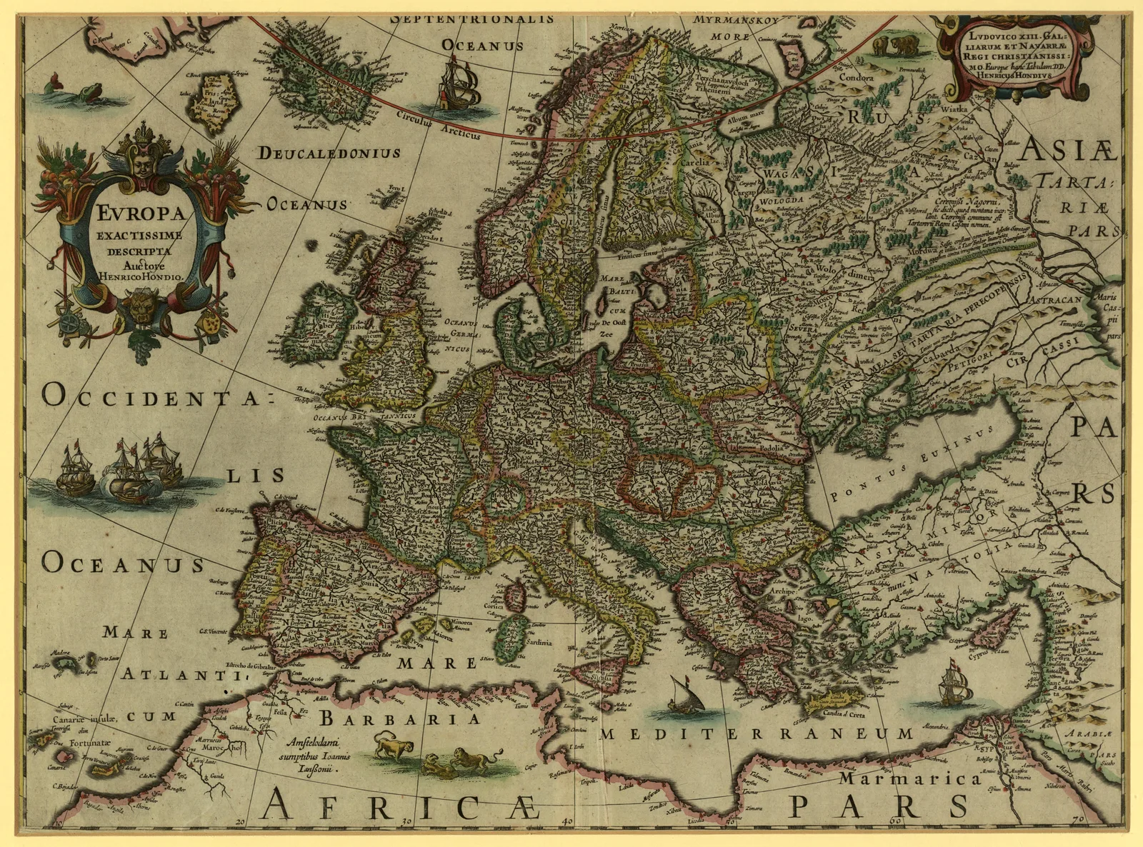 Europe, Very Precisely Represented., 1620. Maps & plans — The 1800s Archive, from the Library of Congress record.
More from this collection
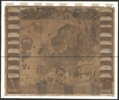 L'Europe dressé sur les observationsEurope, 1730
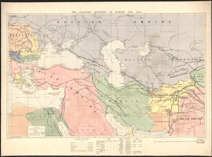 The Eastern question in Europe and AsiaBalkan Peninsula, 1886
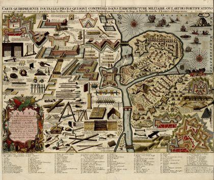 A collection of plans of fortifications and battles, 1684-1709…Europe, 1709
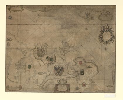 Paskaarte vertonende alle de zekusten EuropeEurope, 1660
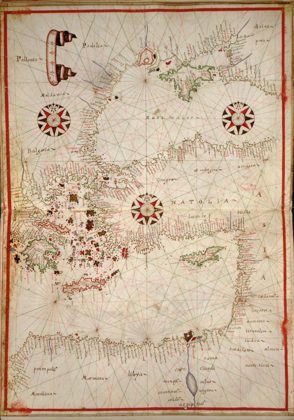 Portolan atlas of the Mediterranean Sea, western Europe, and the…Mediterranean Region, 1590
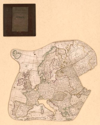 Wallis's New dissected map of Europe : engraved from the latest…Europe, 1814
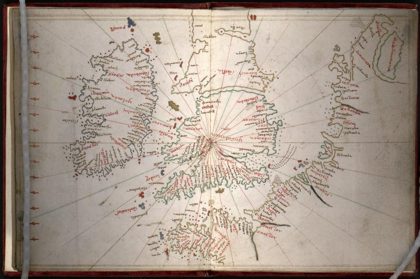 Portolan atlas of the Mediterranean Sea, northwest Europe, and…Mediterranean Sea, 1590
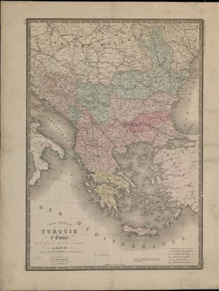 General Map of European Turkey, Greece and the Ionian Islands.Greece, 1816