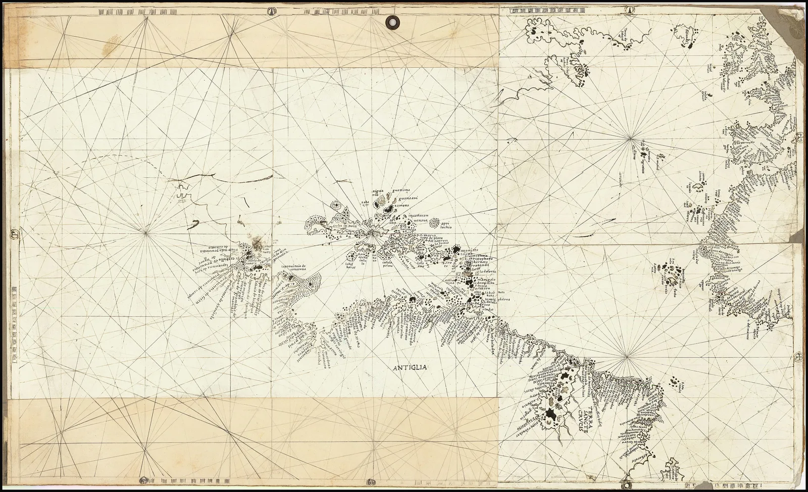
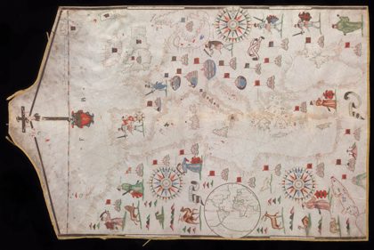
 1590 Portolan chart of the Mediterranean Sea and Europe1590
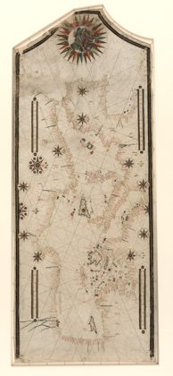 1550s Portolan chart of the Mediterranean Sea1550
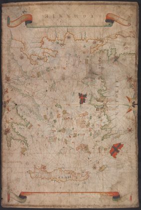 1550s Portolan chart of the Aegean Sea1550
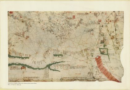 1325 Portolan chart of Angellino de Dalorto - 41325
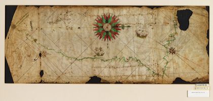 Portolan chart of the Pacific coast from Mexico to northern Chile. LOC…1550
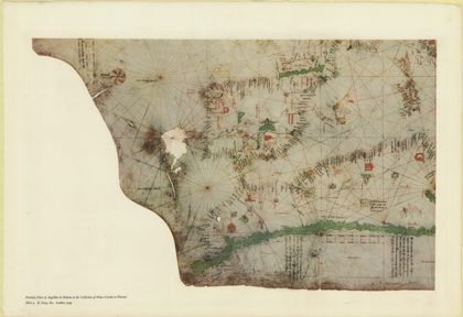 1325 Portolan chart of Angellino de Dalorto - 31325
 1373 Portolan (North Zadar Archipelago)1373
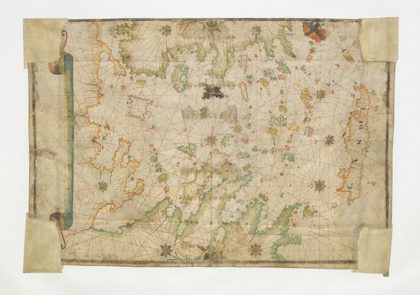 1662 Portolan chart of the Aegean Sea by François Ollive1662