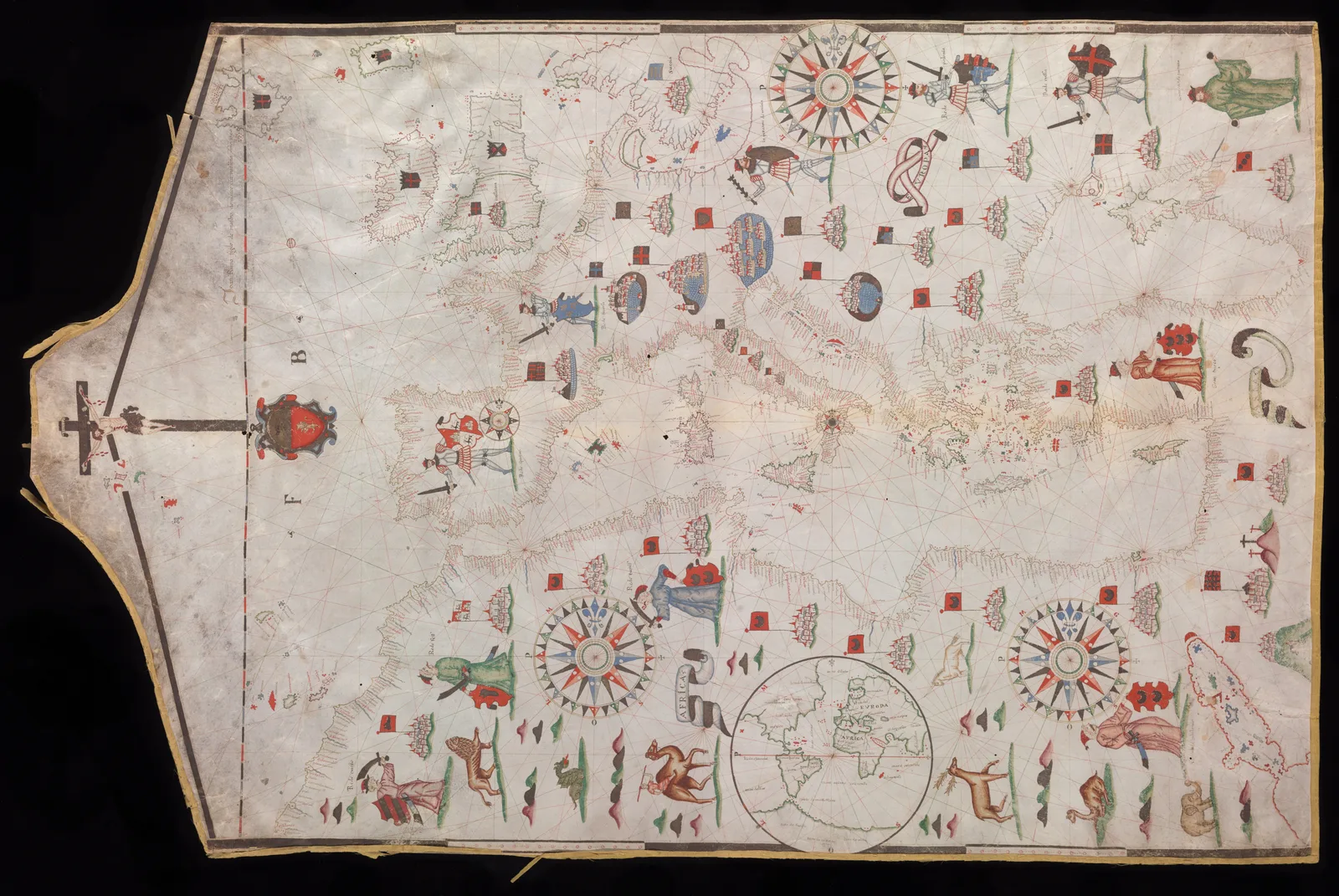
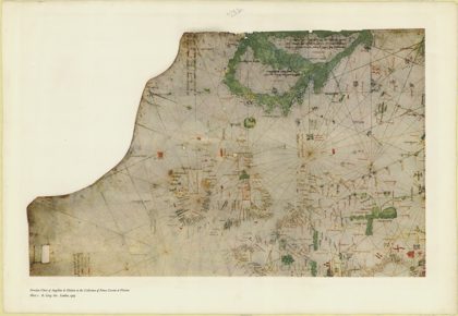
 1325 Portolan chart of Angellino de Dalorto - 11325
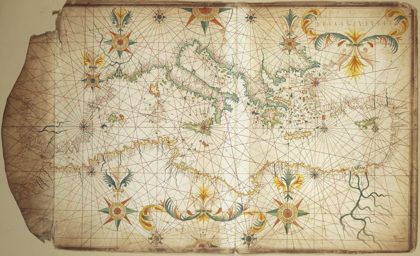 1650 Portolan chart of the Mediterranean Sea by François Ollive second…1650
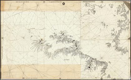
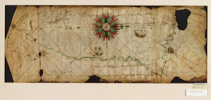 Portolan chart of the Pacific coast from Mexico to northern Chile. LOC…1500
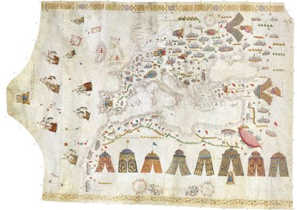 Maggiolo Great Portolan Chart 16021602
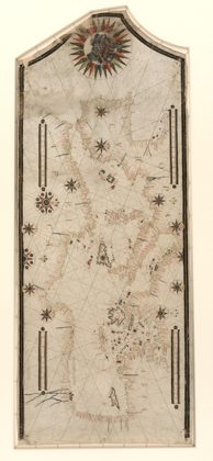 1550s Portolan chart of the Mediterranean Sea1550
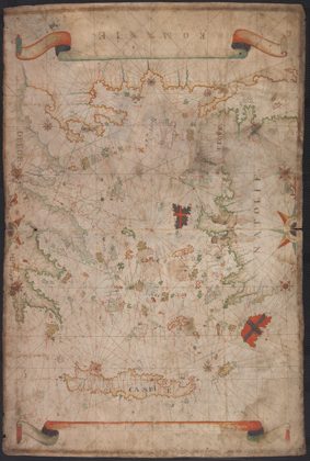 1550s Portolan chart of the Aegean Sea1550
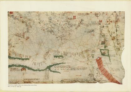 1325 Portolan chart of Angellino de Dalorto - 41325
 Ca. 1510 Egerton Portolan chart of the Atlantic Ocean1495