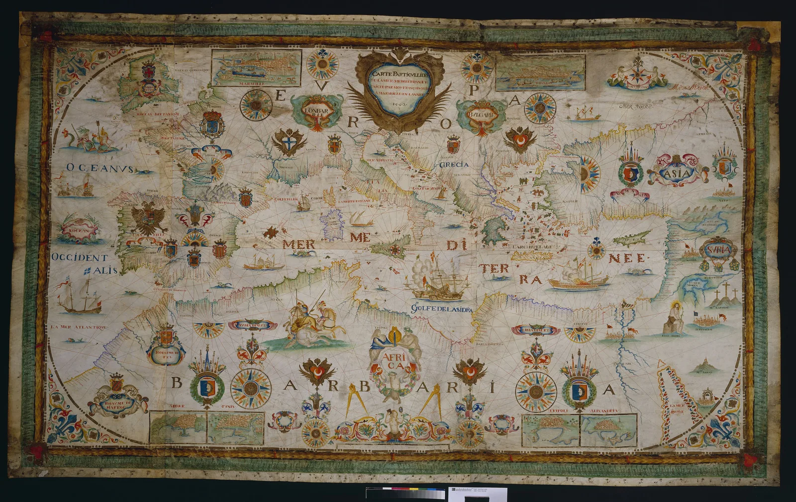
1662
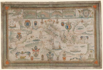 1662 Portolan chart of the Mediterranean Sea by François Ollive1662
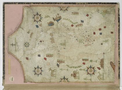 16th century Portolan chart of the Mediterranean Sea by Nicolas…1550
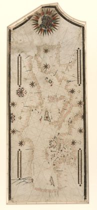 Portolan chart of the Mediterranean and connecting seas. LOC 20105881821550
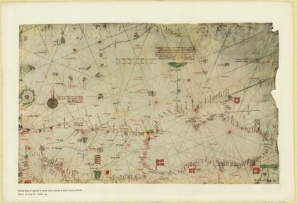 The portolan chart of Angellino de Dalorto, 1325 (nla.obj-233481045)1327
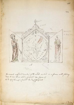 Triptych containing the Hereford Mappa Mundi1784
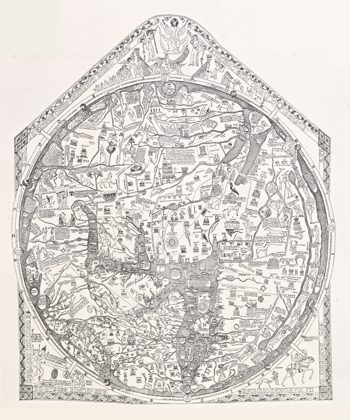 Nordenskiöld 1897 Figure 05 Hereford Mappa Mundi1897
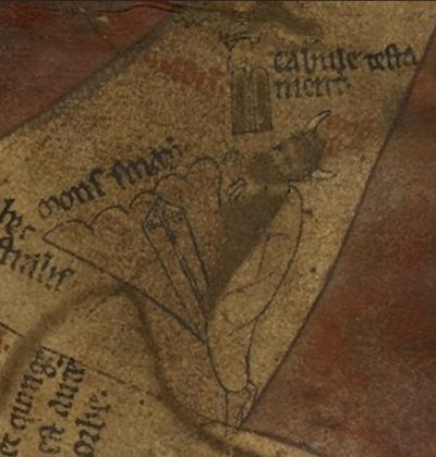 Horned Moses on the Hereford Mappa Mundi1390
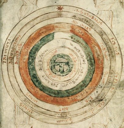 Mappa Mundi 2 from Bede, De natura rerum1188