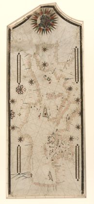
 Portolan chart of the Mediterranean and connecting seas. LOC 20105881821550
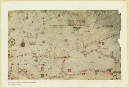 The portolan chart of Angellino de Dalorto, 1325 (nla.obj-233481045)1327
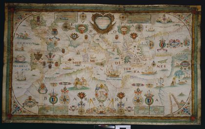 1662 Portolan chart of the Mediterranean Sea by François Ollive…1662
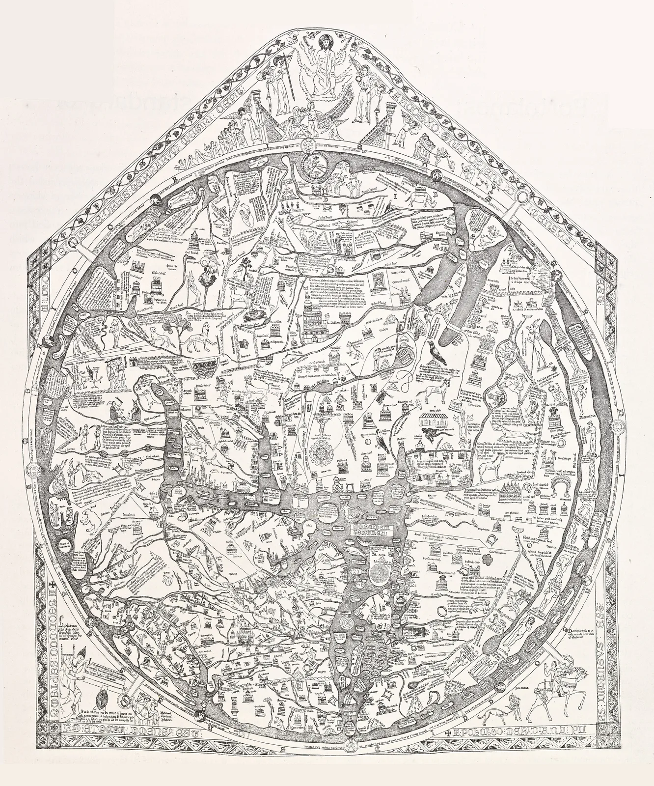
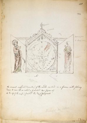 Triptych containing the Hereford Mappa Mundi1784
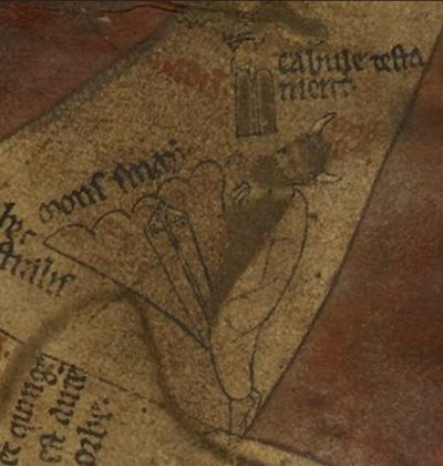 Horned Moses on the Hereford Mappa Mundi1390
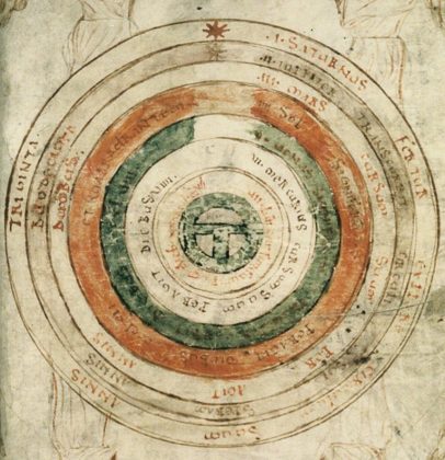 Mappa Mundi 2 from Bede, De natura rerum1188
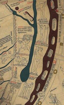 Hereford Mappa Mundi Detail Africa1280
 Hereford Mappa Mundi Detail Africa-eyes-on-shoulders1280