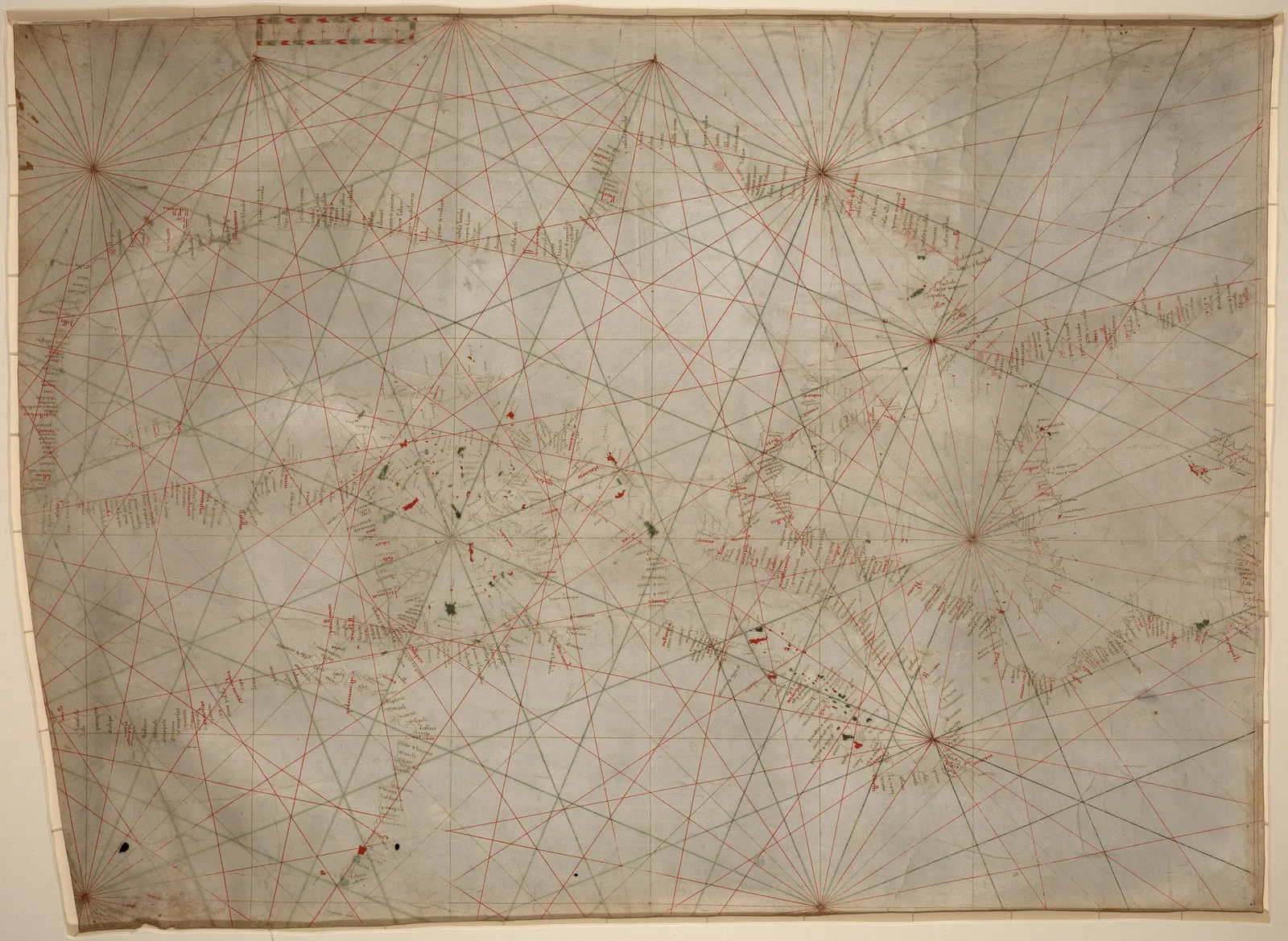
1350
 Title: Europae Tabula.1572
 Title: Nova Graecia1572
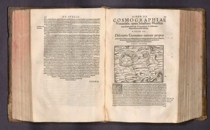 Descriptio Germanicae Propter1572
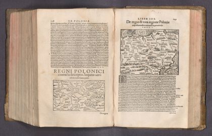 De Regno & tota regione Poloniae1572
 1550s Portolan charts by Battista Agnese1550
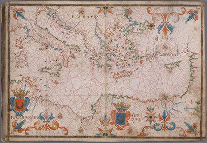 17th century Portolan chart of the Mediterrenean Sea1650
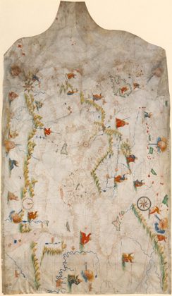 Ca. 1505 - Portolan chart of the "Old World"1492
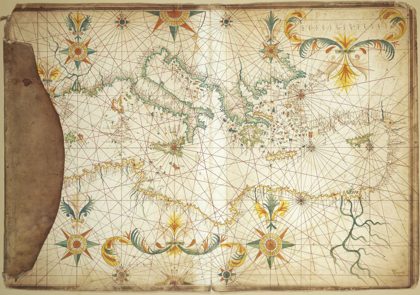 1650 Portolan chart of the Mediterranean Sea by François Ollive1650