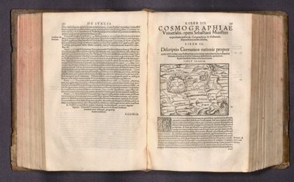
 Descriptio Germanicae Propter1572
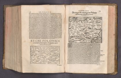 De Regno & tota regione Poloniae1572
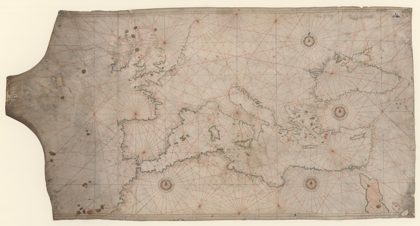
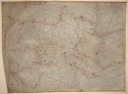 14th century Portolan chart of the Mediterranean and the Black Sea1350
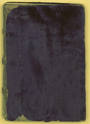 1550s Portolan charts by Battista Agnese1550
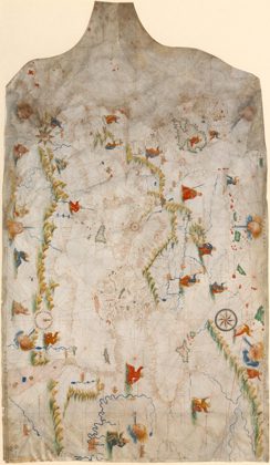 Ca. 1505 - Portolan chart of the "Old World"1492
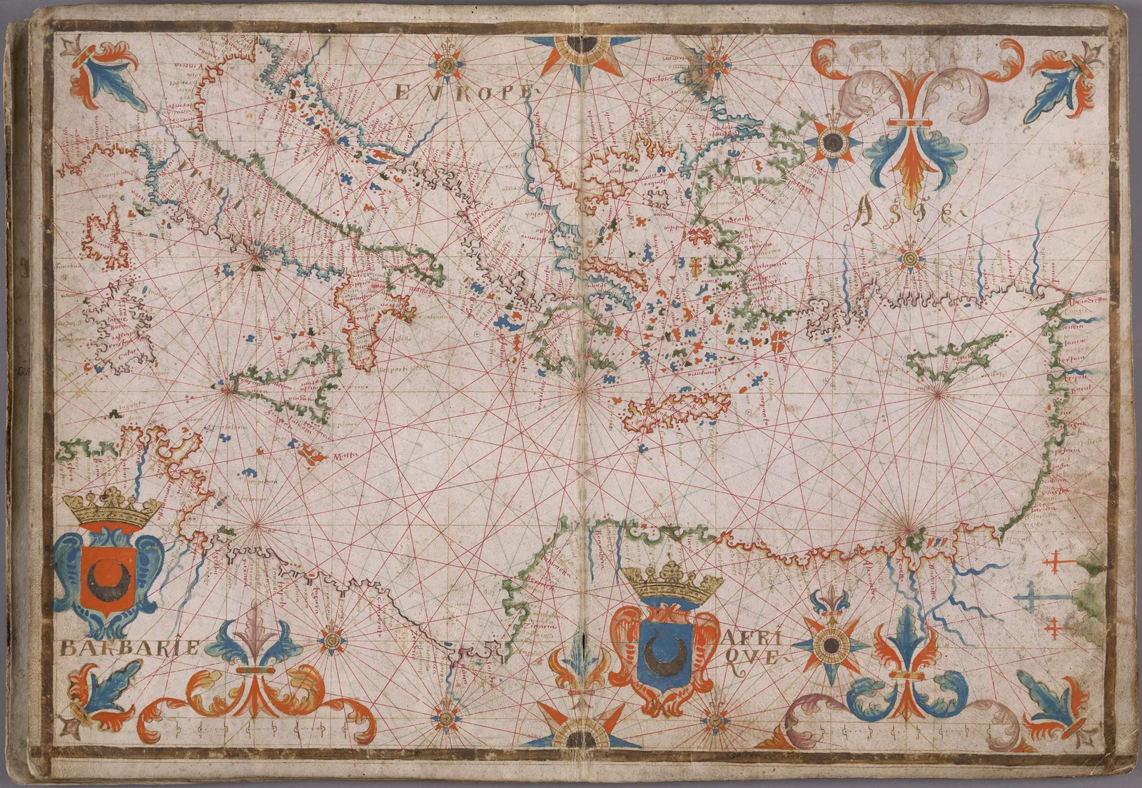
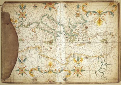 1650 Portolan chart of the Mediterranean Sea by François Ollive1650
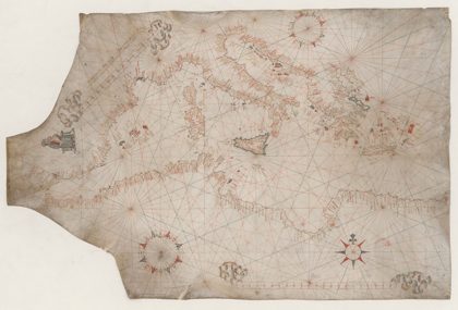 1547 Portolan chart of the Mediterranean Sea by Vesconte Maggiolo1547
 1550 Portolan chart of the Mediterranean Sea and the Black Sea1550