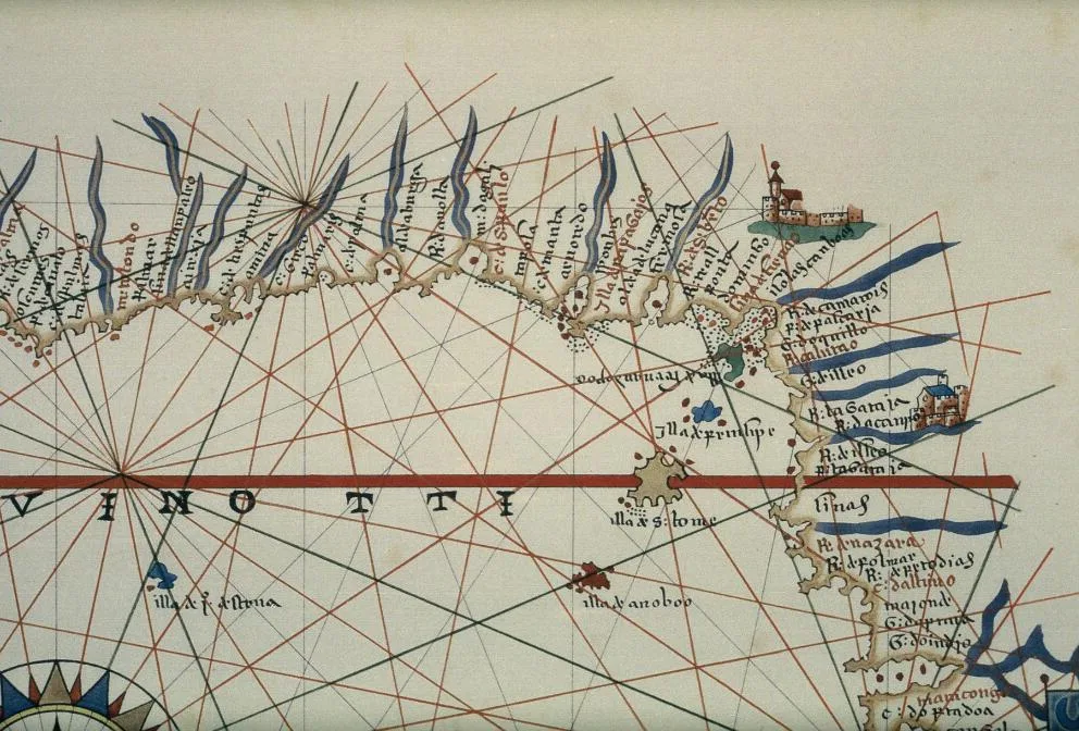
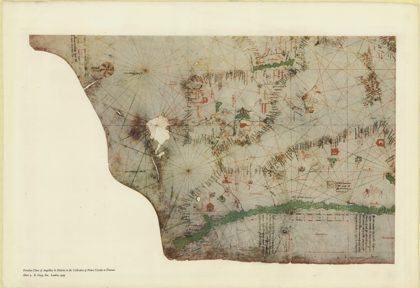
 The portolan chart of Angellino de Dalorto, 1325 (nla.obj-233481158)1327
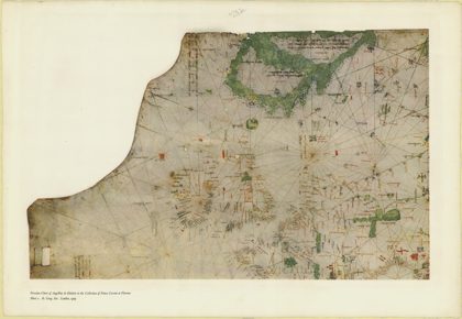 The portolan chart of Angellino de Dalorto, 1325 (nla.obj-233480935)1327
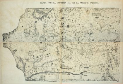 Portolan 1325 (Angelino Dalorto)1325
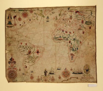 A portolan chart of the Atlantic Ocean and adjacent continents. LOC…1633
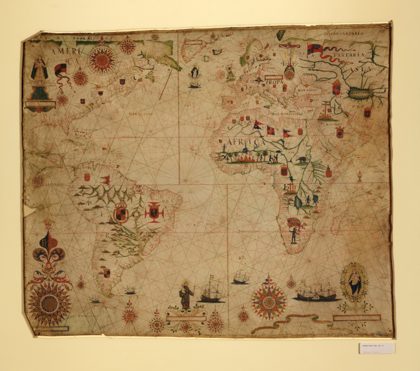 A portolan chart of the Atlantic Ocean and adjacent continents. LOC…1633
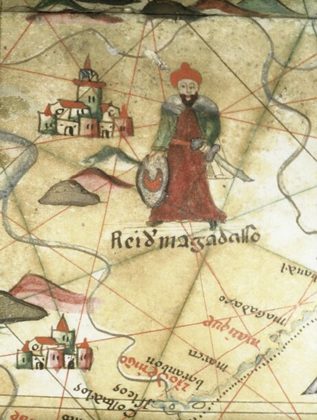 A 16th-century Spanish Portolan chart illustrating a king of Mogadishu1501
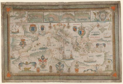 1662 Portolan chart of the Mediterranean Sea by François Ollive1662
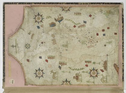 16th century Portolan chart of the Mediterranean Sea by Nicolas…1550