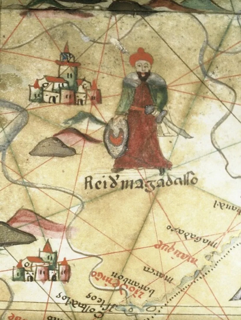
1501
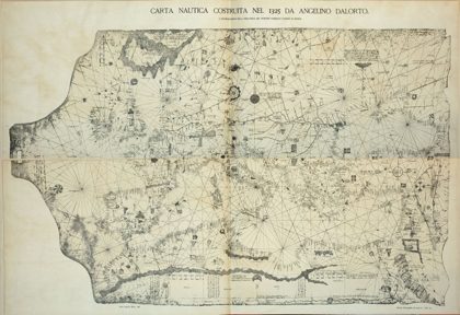 Portolan 1325 (Angelino Dalorto)1325
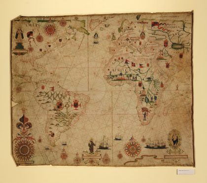 A portolan chart of the Atlantic Ocean and adjacent continents. LOC…1633
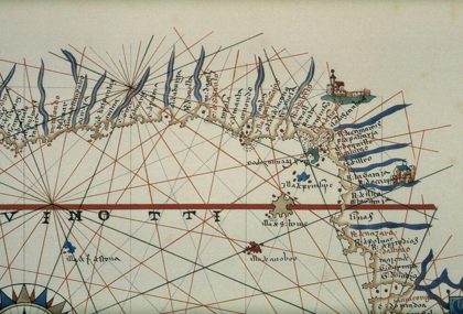 Portolan chart of Gulf of Guinea1849
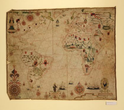 A portolan chart of the Atlantic Ocean and adjacent continents. LOC…1633
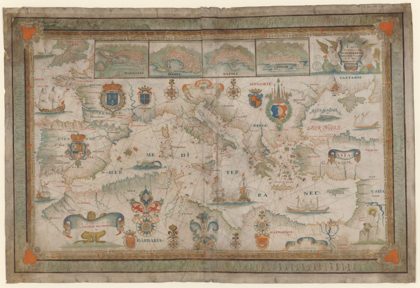 1662 Portolan chart of the Mediterranean Sea by François Ollive1662
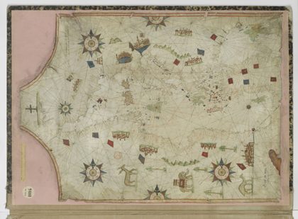 16th century Portolan chart of the Mediterranean Sea by Nicolas…1550
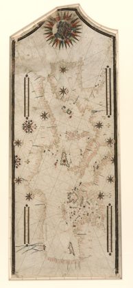 Portolan chart of the Mediterranean and connecting seas. LOC 20105881821550
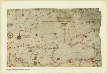 The portolan chart of Angellino de Dalorto, 1325 (nla.obj-233481045)1327