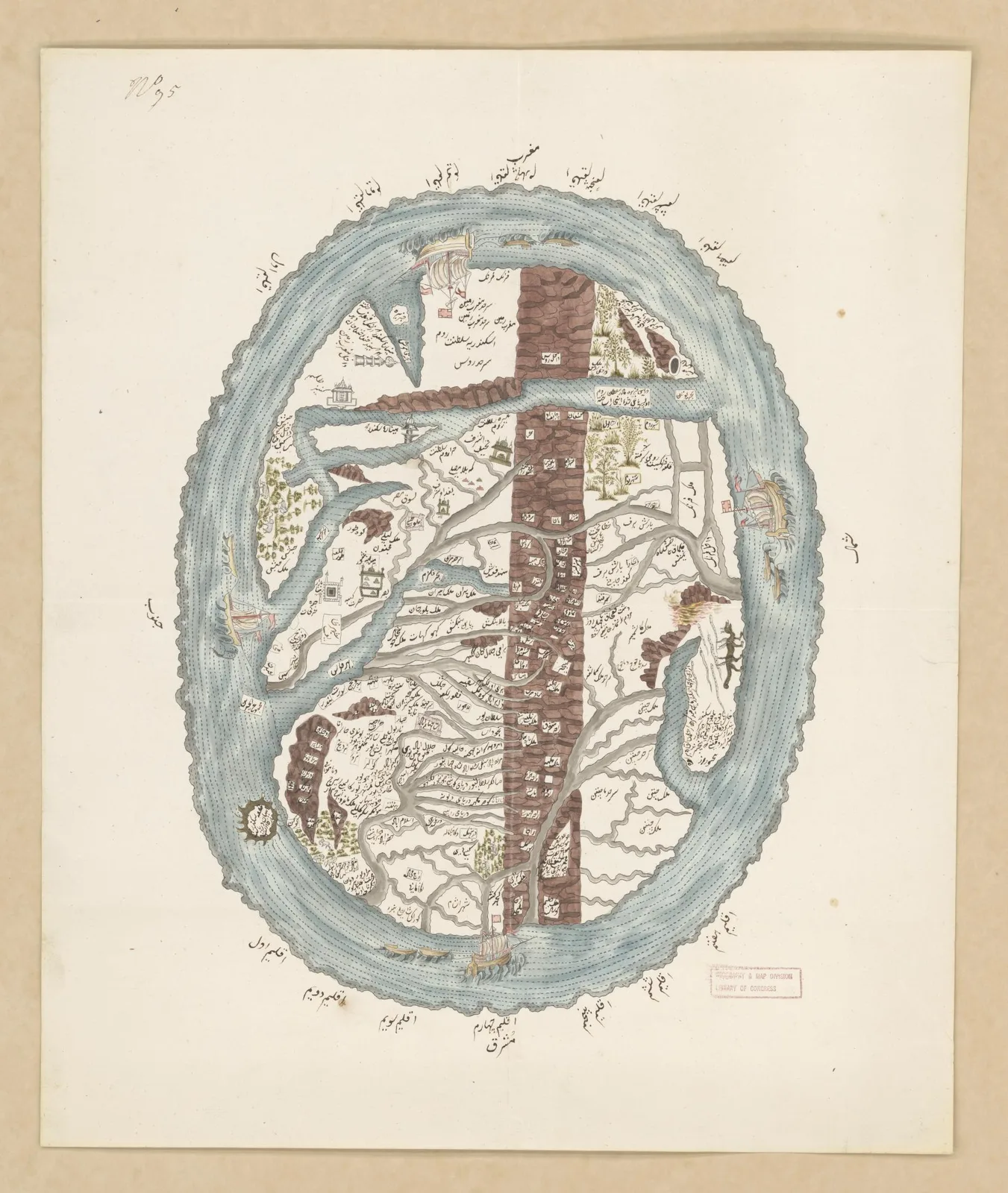
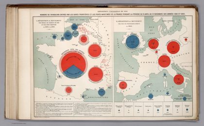
 Exposition Universelle de 1900.Paris, 1906
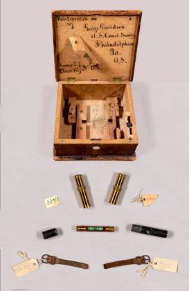 Sextant accessories. Sextant with Spirit-Level Horizon, with Associated…Paris, 1867
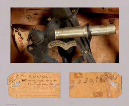 Detail of engraved nameplate and Coast Survey shipping tag. Sextant…Paris, 1867
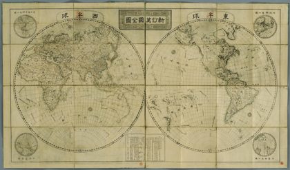 Revised World Map.1816
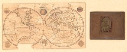 A new map of the worldEarth (planet), 1800
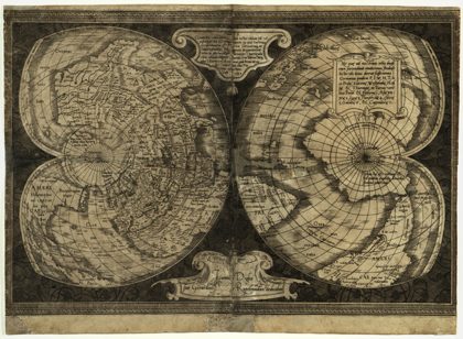 World Map on Double Cordiform Projection.1538
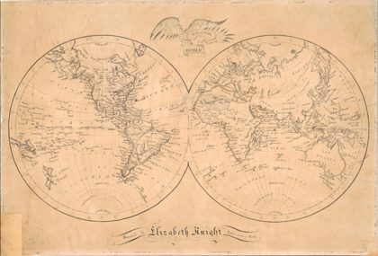 Map of the worldEarth (planet), 1810
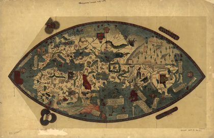 Genoese world map 1457Earth, 1912