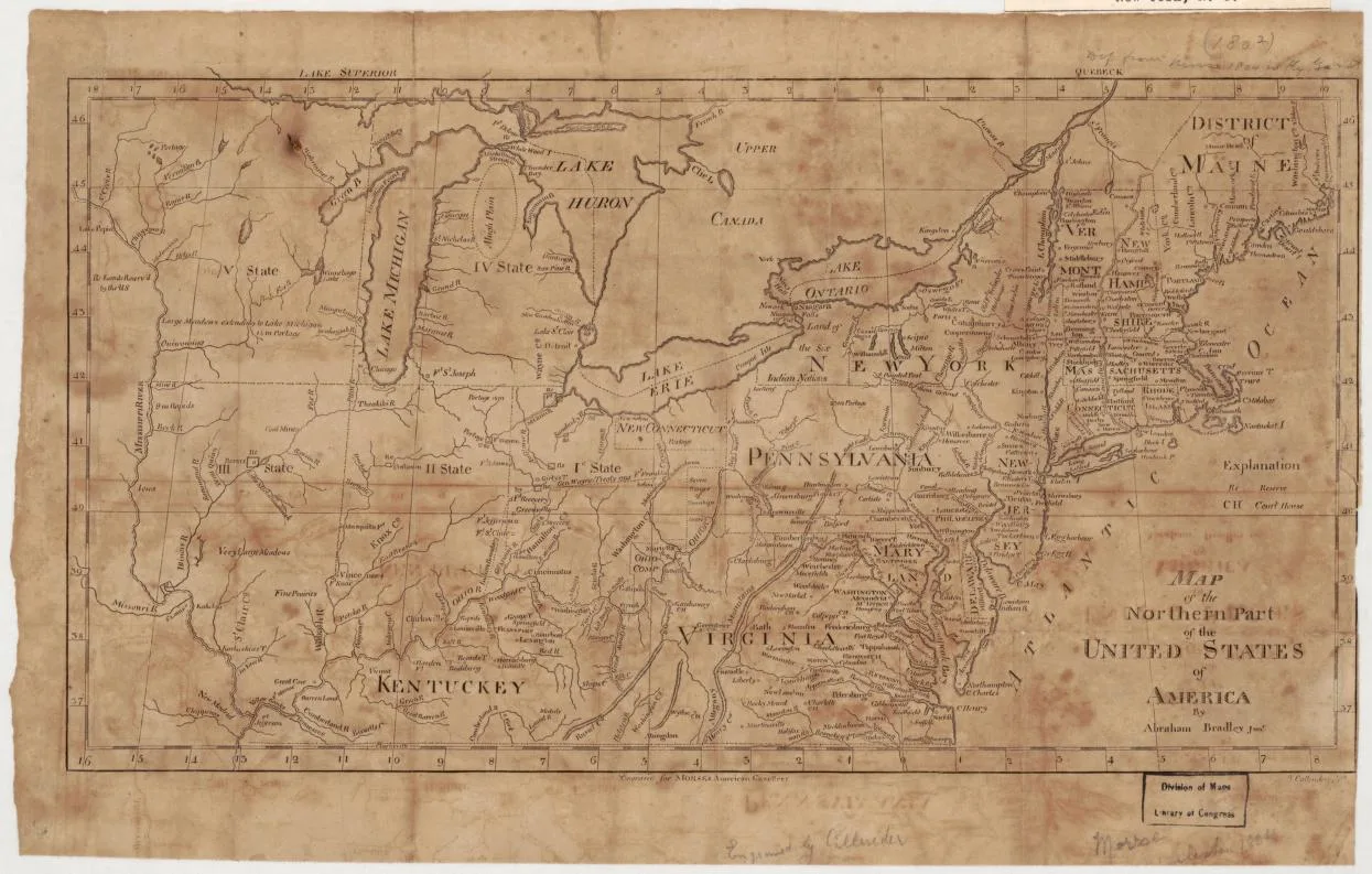
Northeastern States · 1797
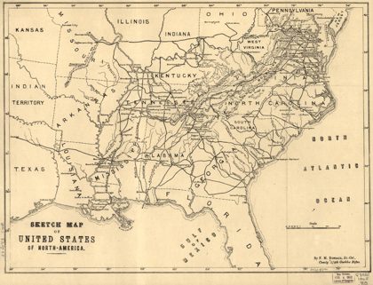 Sketch map of United States of North-America. [1861-65]Southern States, 1901
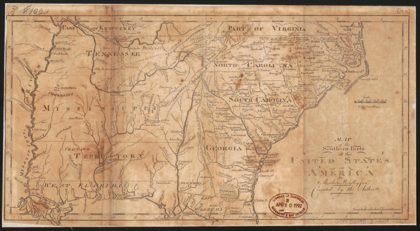 Map of the southern parts of the United States of AmericaSouthern States, 1800
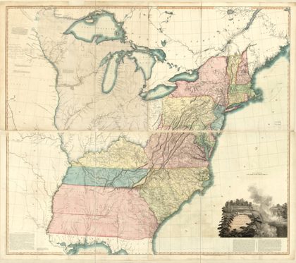 A map of the United States of North AmericaUnited States, 1796
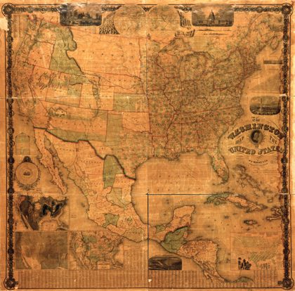 The Washington map of the United StatesUnited States, 1861
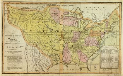 A map-sketch of the United States of AmericaUnited States, 1819
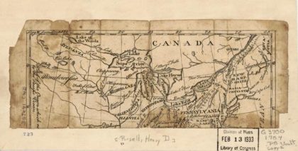 A Map of the United States of N. AmericaUnited States, 1784
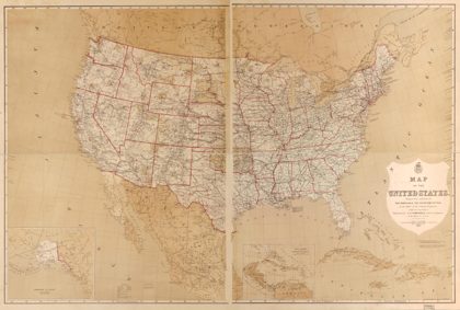 Map of the United StatesUnited States, 1877
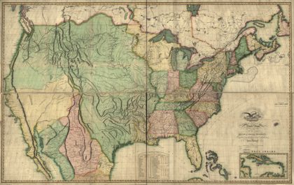 Map of the United States of America : with the contiguous British and…United States, 1816