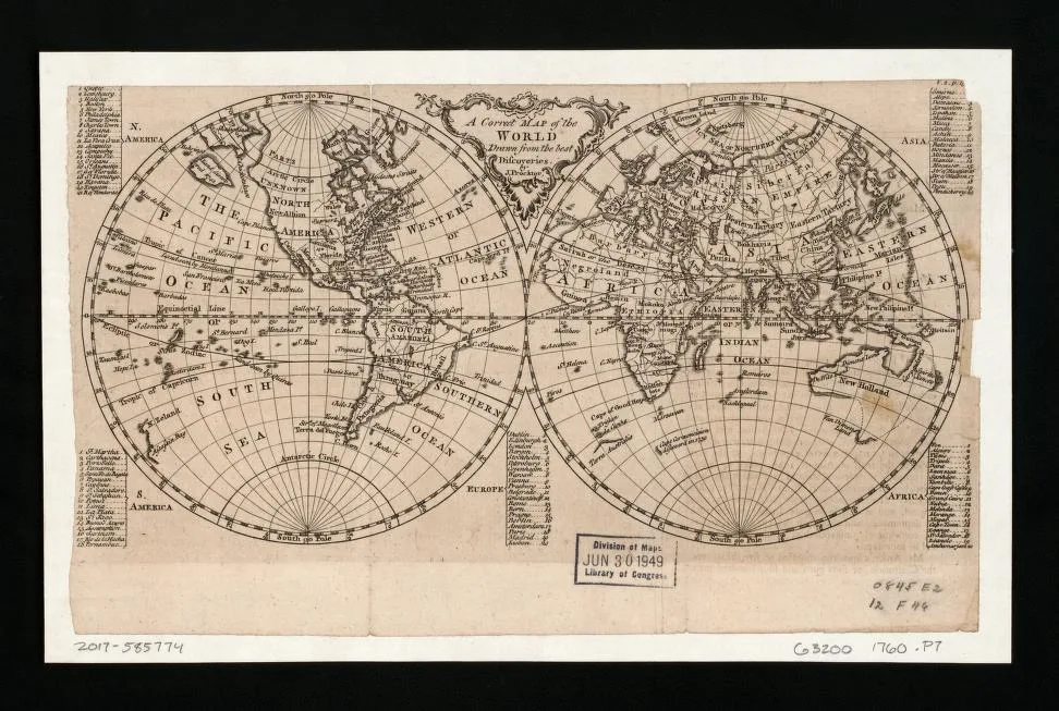
Earth (planet) · 1760
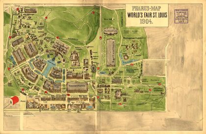 Pharus-map World's Fair St. Louis, 1904Missouri, 1904
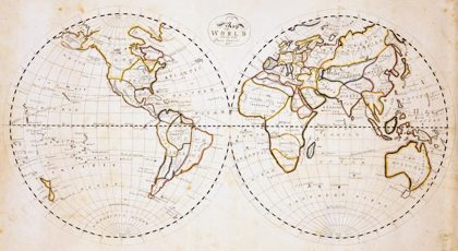 Map of the world with the most recent discoveriesEarth, 1811
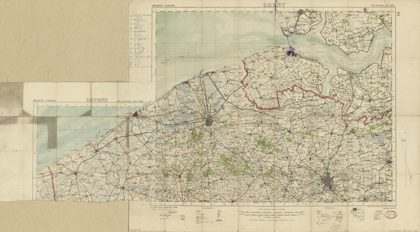 Map of World War I battle positions in the Bruges region, BelgiumBruges Region, Belgium, 1914
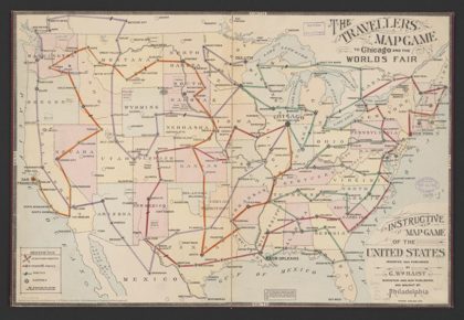 The travellers map game to Chicago and the Worlds Fair : [United States]United States, 1893
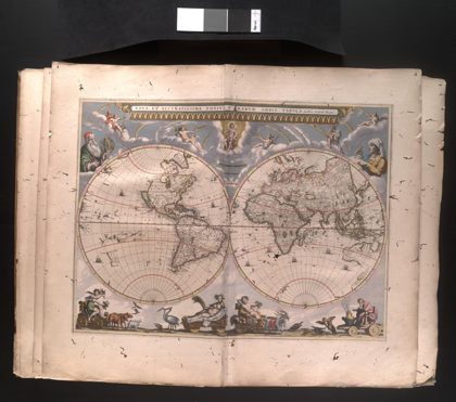 Modern and Completely Correct Map of the Entire World.1659
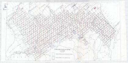 Maps showing entrenchments in France during World War I at a scale of…France, 1915
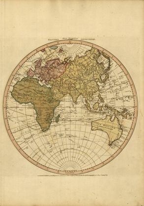 Western New World or Hemisphere. Eastern Old World or HemisphereEarth, 1786
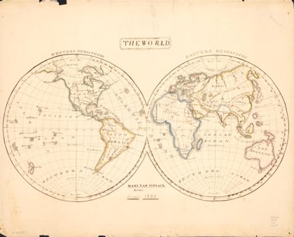 The worldEarth (planet), 1833