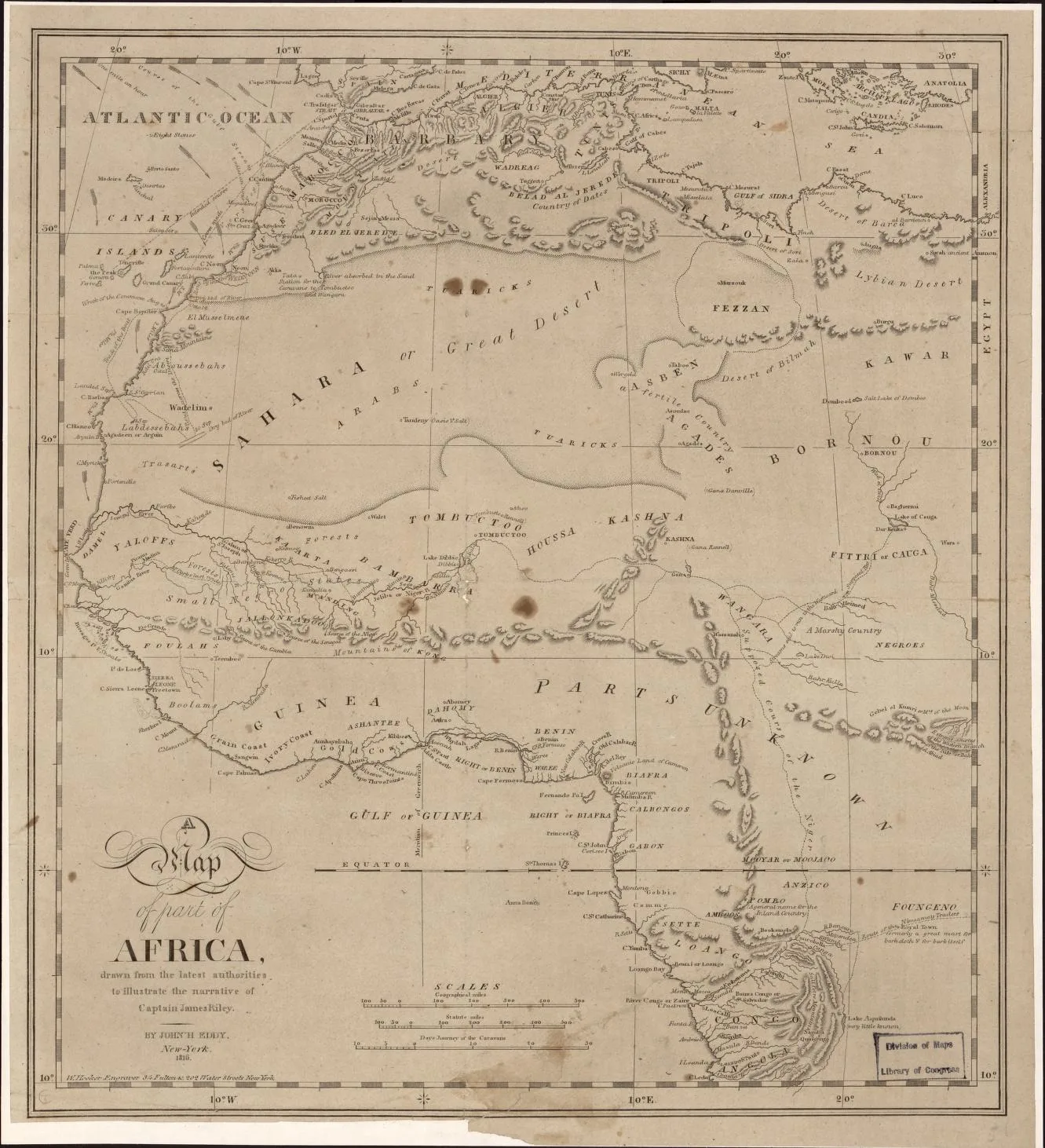
Africa · 1816
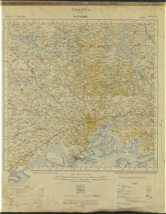 Entebbe, Uganda, Africa.Central, 1911
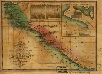 Map of the West Coast of Africa from Sierra Leone to Cape Palmas…Liberia, 1830
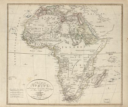 Charte von Africa : nach den neuesten astronomischen Beobachtungen und…Africa, 1804
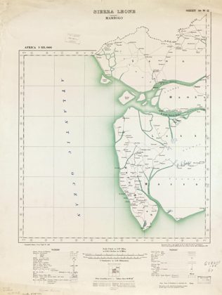 Africa 1:125,000 Sierra LeoneSierra Leone, 1910
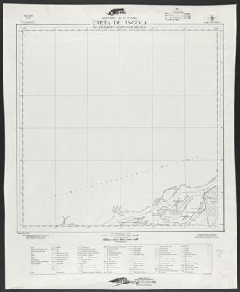 Africa occidental portugueza, esboço chorographico da Província d'AngolaAngola, 1905
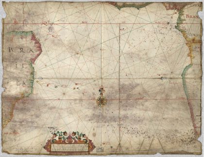 Chart of the South Atlantic Ocean with the coasts of Brazil and West…Brazil, 1681
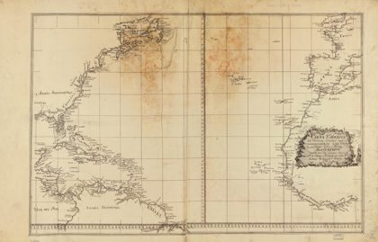 Carta esférica del Occeano [sic] Alántico [sic] que comprehende las…North Atlantic Region, 1800
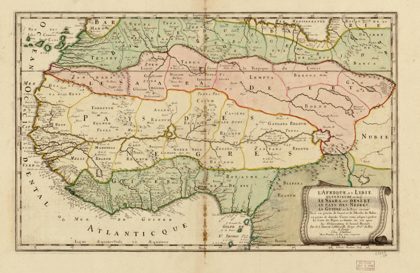 L'Afrique, ou Lybie ulterieure : ou font le Saara, or desért, le pays…Africa, West, 1679