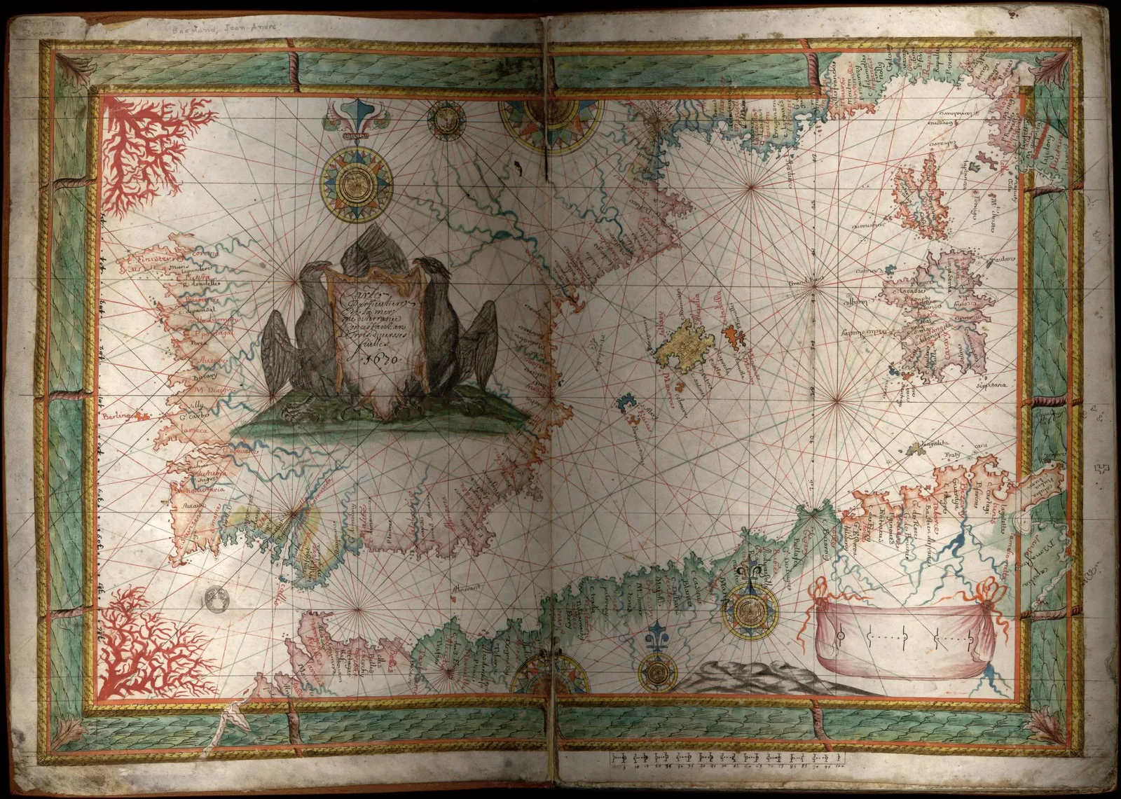
Mediterranean Region · 1670
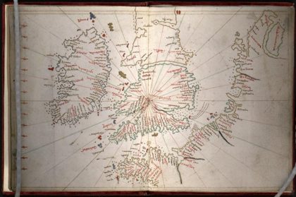 Portolan atlas of the Mediterranean Sea, northwest Europe, and…Mediterranean Sea, 1590
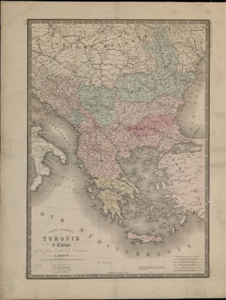 General Map of European Turkey, Greece and the Ionian Islands.Greece, 1816
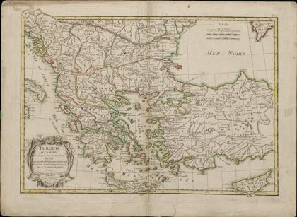 European Turkey and Part of Asian Turkey, Divided into Large Provinces…Greece, 1750
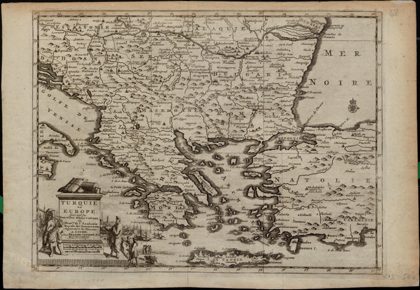 Turkey in Europe: According to New Observations by the Gentlemen at the…Greece, 1729
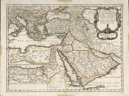 Lands of the Emperor of the Turks or the Ottoman Sultan in Asia…Azerbaijan, 1679
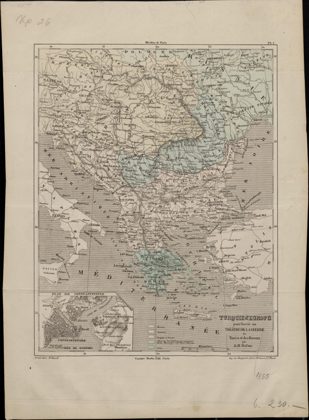 European Turkey as the Theater of War between the Turks and the…Greece, 1855
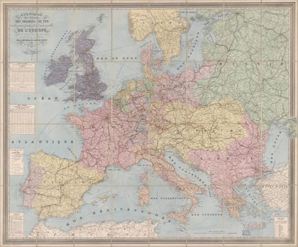 Carte générale des routes, des chemins de fer et des principales voies…Europe, 1864
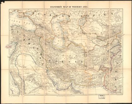 Stanford's map of western AsiaEurope, Eastern, 1885