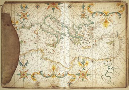
 1650 Portolan chart of the Mediterranean Sea by François Ollive1650
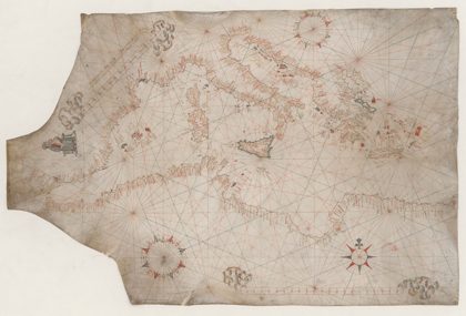 1547 Portolan chart of the Mediterranean Sea by Vesconte Maggiolo1547
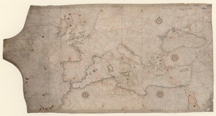 1550 Portolan chart of the Mediterranean Sea and the Black Sea1550
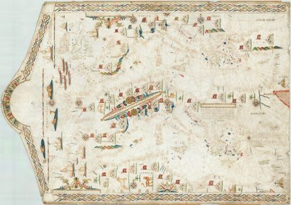 1617 Portolan Chart of the Mediterranean1617
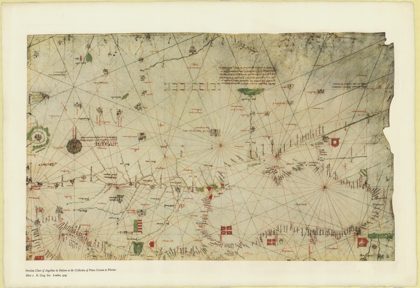 1325 Portolan chart of Angellino de Dalorto - 21325
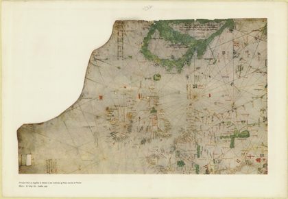 1325 Portolan chart of Angellino de Dalorto - 11325
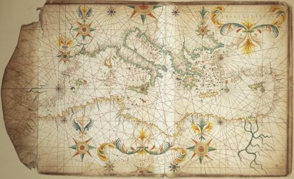 1650 Portolan chart of the Mediterranean Sea by François Ollive second…1650
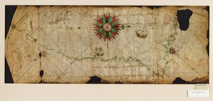 Portolan chart of the Pacific coast from Mexico to northern Chile. LOC…1500